• UGM
  • Academic Portal
  • IT Center
  • Library
  • Research
  • Webmail
  • Informasi Publik
  • Languages
Universitas Gadjah Mada Fakultas Kehutanan
Universitas Gadjah Mada
  • Tentang Kami
    • Visi dan MIsi
    • Kelembagaan Fakultas
    • Sejarah dan Perkembangan
    • Staff Pendidik
  • Akademik
    • Sistem Pendidikan
    • Departemen
    • Sistem Kredit Semester
    • BUKU PANDUAN AKADEMIK
  • KEMAHASISWAAN
    • KEMAHASISWAAN
    • LEM
    • PPSMB Pelestari
  • Penelitian dan Publikasi
    • Berita Penelitian dan Publikasi
    • Penelitian
    • Publikasi
    • Kekayaan Intelektual
    • Jangka Benah
  • Pengabdian Masyarakat
    • Pengabdian Dosen
    • Kerja Sama
    • WANAGAMA
    • KHDTK NGANDONG-GETAS
  • Beranda
  • berita penelitian dan publikasi
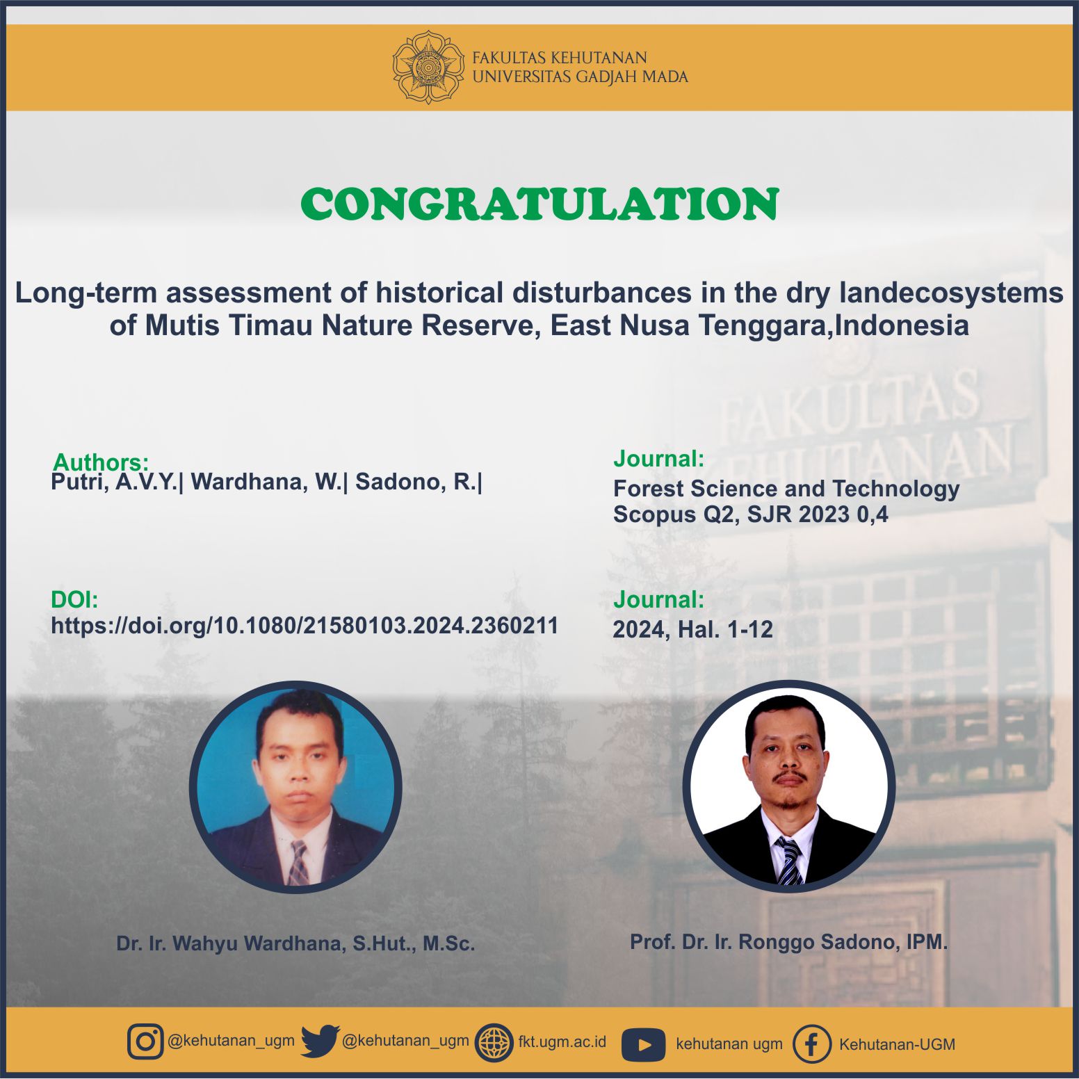
  • Publication: Long-term assessment of historical disturbances in the dry landecosystems of Mutis Timau Nature Reserve, East Nusa Tenggara,Indonesia

Publication: Long-term assessment of historical disturbances in the dry landecosystems of Mutis Timau Nature Reserve, East Nusa Tenggara,Indonesia

  • berita penelitian dan publikasi
  • 8 July 2024, 01.29
  • Oleh: Bag. Riset & Literasi
  • 0

<strong>Abstract</strong>
Long-term assessment using historical satellite imagery is critical for gaining meta-informationand identifying trends in land cover change. informed policymaking about this assessmentensures forest sustainability and mitigates climate change to consider the identified trends inland cover changes and historical disturbances. therefore, this study aimed to describe thetrend of land cover change and historical disturbances in Mutis timau Nature Reserve (caMutis timau), indonesia using the landtrendr platform. the land cover classification is basedon sNi 7645-1:2014, with a 1:50,000 scale. the data was processed using Google earth engine’slandtrendr platform, which covered the vegetation index, specifically the normalized burnratio (NBR). the results showed that the trend of land cover change in ca Mutis timauremained stable from 1986 to 2023. these disturbance locations have low slopes and arelocated near neighborhoods. in specifics, the Eucalyptus forest land cover experienced thelargest land cover change between 1986 and 2023, losing 945.68 ha of vegetation, or 8% ofthe total area of ca Mutis timau. Over a duration of 38 years, from 1986 to 2023, theEucalyptus forest had a cover change that turned into marble stone, barren land, grassland,and shrubs. Forest management policies, such as establishing a nature reserve area on MountMutis areas, had an impact on the long-term sustainability of vegetation land cover.

SDGs:
1. SDGs 6: Clean Water and Sanitation
2. SDGs 13: Climate Action
3. SDGs 15: Life on Land

Link Dokumen:
Download

Universitas Gadjah Mada

FAKULTAS KEHUTANAN
Universitas Gadjah Mada
Jl. Agro No. 1 Bulaksumur Yogyakarta 55281
Telp. (0274) 512102, 6491420 Fax. (0274) 550541
Email: fkt@ugm.ac.id

UNIVERSITY ADMISSION

  • SNMPTN
  • SBMPTN
  • PBUTM
  • UTUL

DEPARTMENT

  • Forest Management
  • Forest Product Technology
  • Silviculture
  • Forest Resource Conservation

Informasi Publik

  • Permohonan Informasi Publik
  • Daftar Informasi Tersedia Secara Berkala
  • Daftar Informasi Tersedia Setiap Saat

© FKT - Universitas Gadjah Mada

KEBIJAKAN PRIVASI/PRIVACY POLICY