• UGM
  • Academic Portal
  • IT Center
  • Library
  • Research
  • Webmail
  • Informasi Publik
  • Languages
Universitas Gadjah Mada Fakultas Kehutanan
Universitas Gadjah Mada
  • Tentang Kami
    • Visi dan MIsi
    • Kelembagaan Fakultas
    • Sejarah dan Perkembangan
    • Staff Pendidik
  • Akademik
    • Sistem Pendidikan
    • Departemen
    • Sistem Kredit Semester
    • BUKU PANDUAN AKADEMIK
  • KEMAHASISWAAN
    • KEMAHASISWAAN
    • LEM
    • PPSMB Pelestari
  • Penelitian dan Publikasi
    • Berita Penelitian dan Publikasi
    • Penelitian
    • Publikasi
    • Kekayaan Intelektual
    • Jangka Benah
  • Pengabdian Masyarakat
    • Pengabdian Dosen
    • Kerja Sama
    • WANAGAMA
    • KHDTK NGANDONG-GETAS
  • Beranda
  • berita penelitian dan publikasi
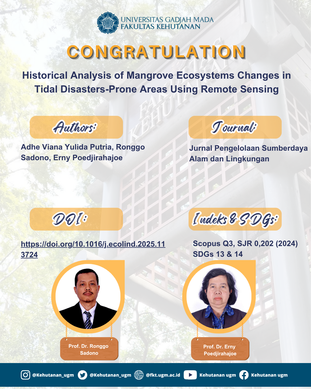
  • Historical Analysis of Mangrove Ecosystems Changes in Tidal Disasters-Prone Areas Using Remote Sensing

Historical Analysis of Mangrove Ecosystems Changes in Tidal Disasters-Prone Areas Using Remote Sensing

  • berita penelitian dan publikasi
  • 22 June 2025, 02.40
  • Oleh: Bag. Riset & Literasi
  • 0

Abstract
Mangrove ecosystems are vital for human livelihoods, but ongoing exploitation and natural disturbances have led to significant land use and cover changes. Therefore, this study aimed to identify trends regarding land cover (LC) changes in mangrove ecosystems using remote sensing. LC changes from 1988 to 2024, as observedusing remote sensing techniques. Satellite imagery from Landsat 5 TM, Landsat 7 ETM+, Landsat 8 OLI/TRIS, and Landsat 9 OLI/TRIS was analyzed using the Normalized Difference Vegetation Index (NDVI), Normalized Difference Water Index (NDWI), and a newly developed Combined Mangrove Recognition Index (CMRI).The results revealed four distinct phases of LC change over the study period (1988–2024), starting from 1988 to 1989, during which 12.14 ha of mangrove forest weredocumented.The second phase, spanning from 1990 to 1994, witnessed the onset of anthropogenic disturbances in pond area expansion, totaling 41.04 ha. The third phase, which spanned from 1995 to 1998, featured abrasion, resulting in 11.56 ha reduction in the area covered. Natural ecosystem recovery began in 1998 and continuedwith human intervention in the fourth phase from 2008 to 2024, resulting in an increase in mangrove forest LCby 62.57 ha. The study demonstrates the utility of remote sensing in documenting ecological changes over time and provides critical insights for sustainable coastal management and policymaking in vulnerable urban coastal zones.

SDGs:
SDG 13:Climate Action
SDG 14:Life Below Water

Link Dokumen:
Download

Tags: SDGs 13 Climate Action SDGs14 Ekosistem Daratan
Universitas Gadjah Mada

FAKULTAS KEHUTANAN
Universitas Gadjah Mada
Jl. Agro No. 1 Bulaksumur Yogyakarta 55281
Telp. (0274) 512102, 6491420 Fax. (0274) 550541
Email: fkt@ugm.ac.id

UNIVERSITY ADMISSION

  • SNMPTN
  • SBMPTN
  • PBUTM
  • UTUL

DEPARTMENT

  • Forest Management
  • Forest Product Technology
  • Silviculture
  • Forest Resource Conservation

Informasi Publik

  • Permohonan Informasi Publik
  • Daftar Informasi Tersedia Secara Berkala
  • Daftar Informasi Tersedia Setiap Saat

© FKT - Universitas Gadjah Mada

KEBIJAKAN PRIVASI/PRIVACY POLICY